

Remote Sensing
Data sources
We fuse multiple satellite and geophysical datasets into a single analysis — so you get the most complete picture of your region's mineral potential.
Spectral Sensors
Primary data sources
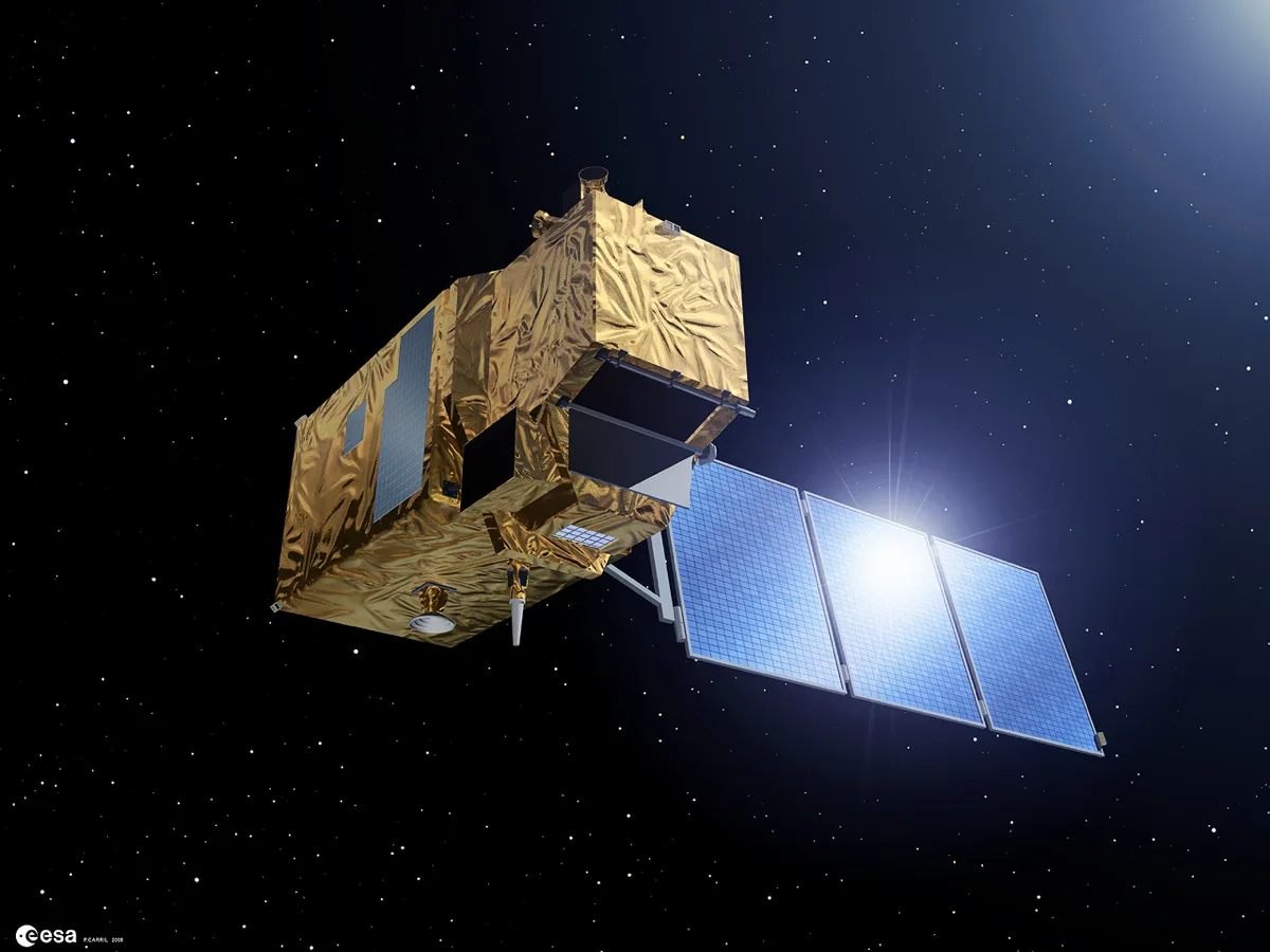
Sentinel-2
ESA / Copernicus
Our workhorse for spectral mapping. Band ratios reveal iron oxide and hydroxyl alteration — the foundation of every Madini analysis, updated every 5 days globally.
Strengths
- + 10m visible resolution
- + Global 5-day revisit
- + Free and open access
- + Good SWIR for hydroxyl
Limitations
- - Only 2 SWIR bands
- - Cannot distinguish clay species
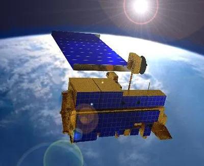
ASTER
NASA / METI
Where Sentinel-2 sees alteration, ASTER tells you exactly which minerals. Six SWIR bands resolve sericite from kaolinite, chlorite, and carbonate — with crosstalk correction applied.
Strengths
- + 6 SWIR bands for detailed mineralogy
- + Thermal infrared for silica
- + 20+ year heritage
- + Crosstalk correction
Limitations
- - 30m SWIR, 90m TIR resolution
- - No longer acquiring new SWIR

EMIT
NASA / JPL
NASA's game-changer. 285 contiguous spectral bands enable direct mineral identification — not proxies, but actual species. Chlorite, kaolinite vs sericite doublet, and true propylitic alteration mapping.
Strengths
- + Resolves individual mineral species
- + Direct identification (not proxies)
- + Mg-OH at 2.32µm
- + Free NASA data
Limitations
- - 60m spatial resolution
- - ISS orbit limits coverage
Supporting Data
Structural & geophysical
SRTM
Elevation · C-band radar · 30m
The backbone of structural analysis. Slope, curvature, and multi-azimuth hillshade reveal lineaments and structurally complex zones from elevation data alone.
- + Global 30m coverage
- + 8-direction hillshade (Horn 1981)
- + Native 30m curvature
- + Sobel edge detection
EMAG2 / WGM2012
Magnetic + Gravity · ~4 km
Global magnetic and gravity anomaly grids for deep crustal structure. These contextual layers complement surface sensing to help identify buried geological features.
- + Global coverage
- + Deep crustal structure
- + Complement to surface sensing
- + Zero weight in decorrelated mode
At a Glance
| Source | Bands | Resolution | Mineral Mapping | Coverage |
|---|---|---|---|---|
| Sentinel-2 | 13 | 10-20m | Iron oxide, hydroxyl | Global, 5-day |
| ASTER | 14 | 15-90m | Detailed mineralogy | Global, archive |
| EMIT | 285 | 60m | Direct mineral ID | ISS path, growing |
| SRTM | 1 (DEM) | 30m | Structural only | Global |
| EMAG2 | 1 (Mag) | ~4km | Deep structure | Global |
Official Data Source Documentation
All data sources used by Madini are freely available from their respective providers. For technical specifications, calibration details, and access:
- +Sentinel-2 Mission (ESA)
- +ASTER Mission (NASA/JPL)
- +NASA EMIT Hyperspectral
- +SRTM Elevation (USGS)
- +EMAG2 Magnetic Anomaly (NOAA)
- +WGM2012 Gravity (BGI)
Last updated: April 13, 2026